MSUEWQ Data Hub
About this Website
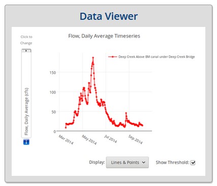
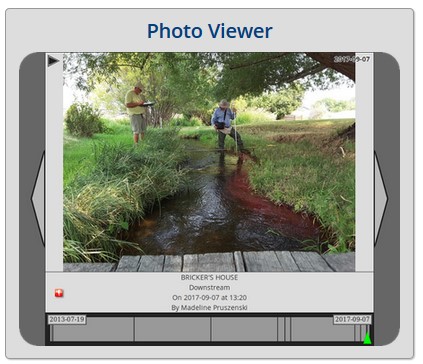
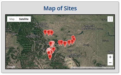
This web-database provides storage and visualization of surface water data and photos collected by citizen scientists and groups across Montana. There are basic plotting tools built in or data can be downloaded. Site lists can also be exported with coordinates and hyperlinks to add to interactive online maps.
 |
 |
 |
 |
The Data Hub is intended to house data from citizen science efforts as well as alternative data sources that are not otherwise readily available to the public through the internet. The majority of the data in the Data Hub are collected using robust methods (EPA certified or equivalent) and are collected under the guidance of a sampling and analysis plan (SAP). In limited cases, data collected with less robust methods are included if there are provisions for quality assurance in place (example: specific conductance data collected with inexpensive handheld meters with documented calibration procedures in place). Data from methods with very high detection limits relative to the levels expected in stream are not included in the Data Hub (example: nitrate test strips used on mountain streams).
New User Guidance and Resources
This webpage has instructional documents for new Data Hub users and additional resources for creating maps using the Data Hub mapping tools.
Intro to Data Hub Exersises
This webpage features exersises for new users that are intended to demontrate the many functionalities of the Data Hub.
Sampling Analysis Plans (SAPs)
archived sampling analysis plans for programs using the data hub and for projects with MSUEWQ involvement.

